The Albany Hill is nestled along highway I-80 / I-580 in the East Bay town of Albany. Trails along the north side wind through a native forest of oaks, hazel nut, and other native trees, which harbor birds, deer, and other wildlife. More trails to the south scramble up a mostly eucalyptus forest leading to open areas of grasses, shrubs, and wildflowers at the top. And in the winter, a small aggregation of monarch butterflies clusters high up in the eucalyptus branches awaiting spring when they head inland to lay eggs on milkweed and start the next generation.
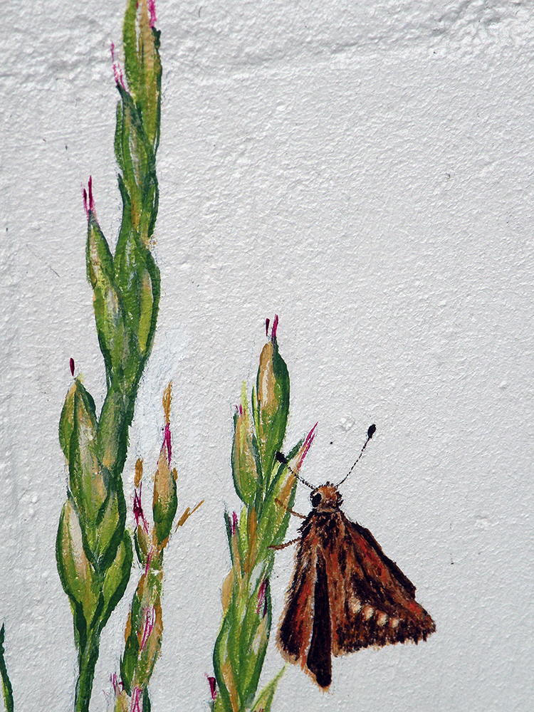
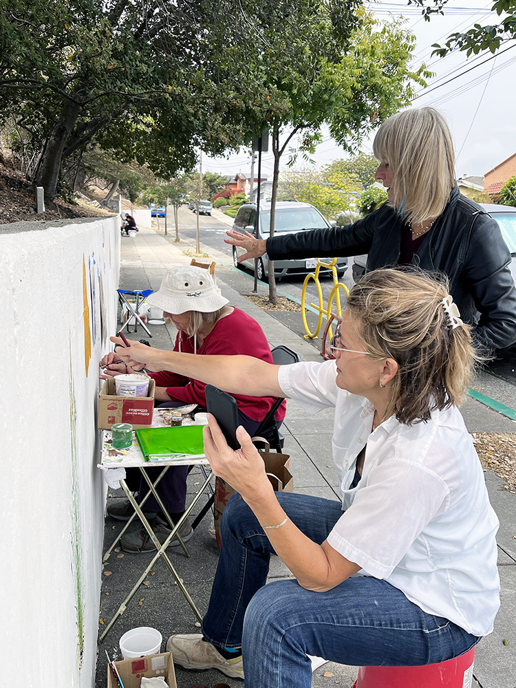
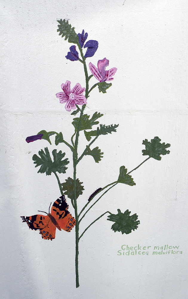
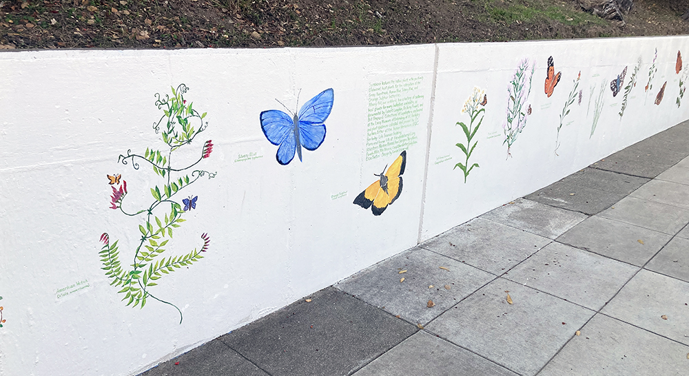
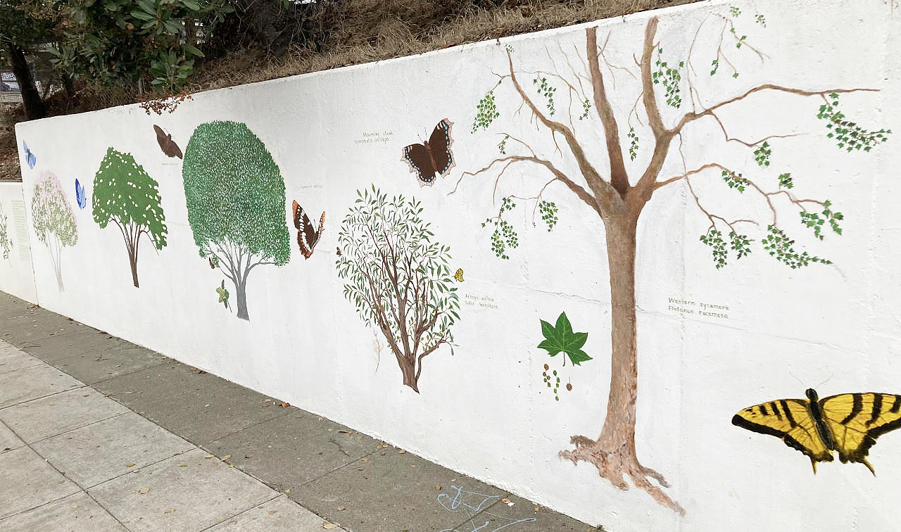
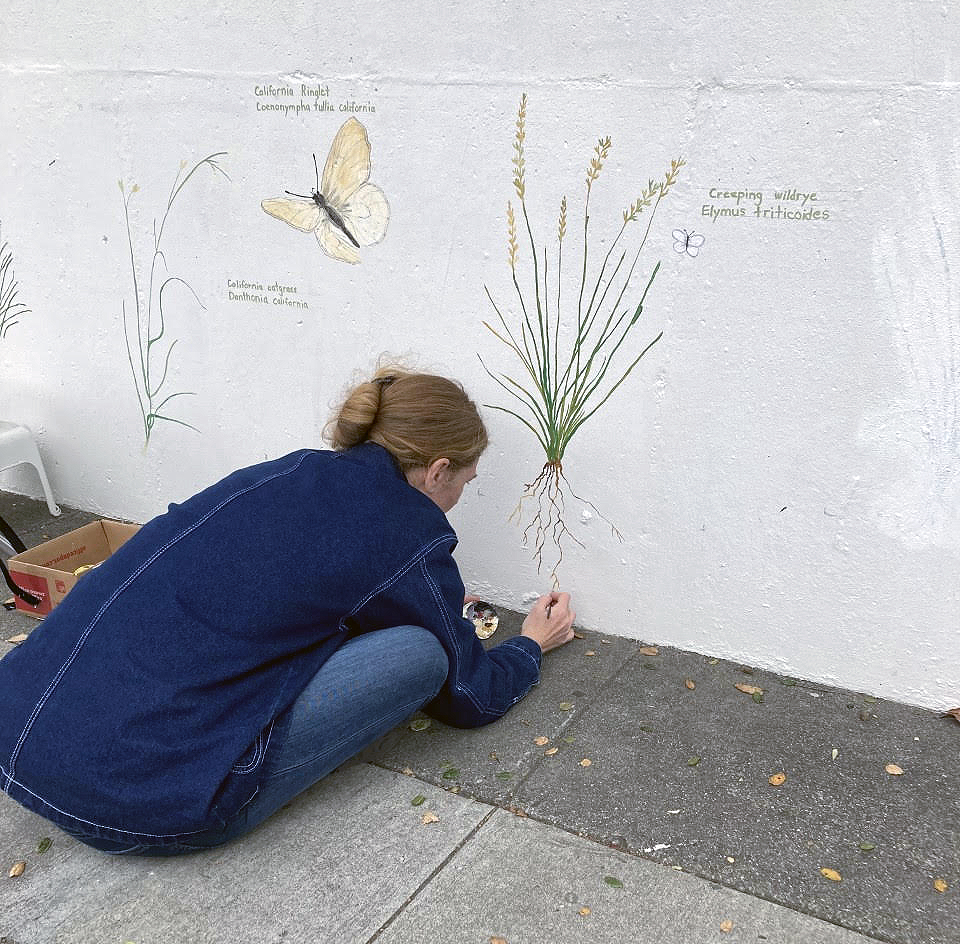 Friends of Albany Hill have worked tirelessly to secure the land for conservation, maintain trails, and foster environmental education through hands-on activities. Their latest project, spearheaded by artist Carole Fitzgerald, is a mural along Jackson Street on the the east side of the hill depicting the butterflies that occur on hill and the plants they depend on. Each butterfly species is accompanied by the host plant on which its caterpillar feeds. Citizen artists gathered for months to make sketches and eventually paint sections of the mural, paying close attention to biological details of both plants and insects. For the butterflies, their inspiration was a collection assembled in the 1990’s by Essig Museum research affiliate, Robert Langston.
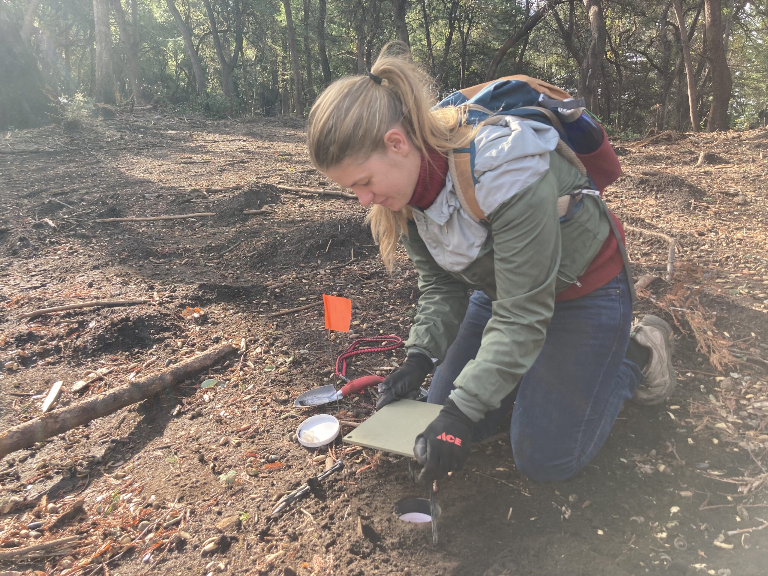
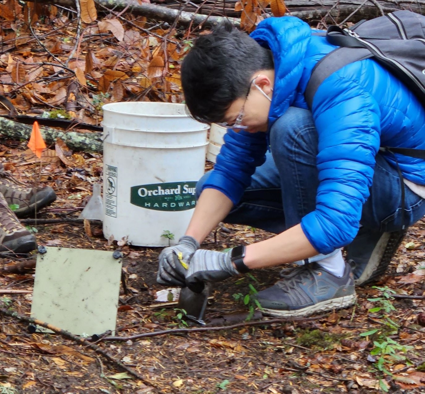
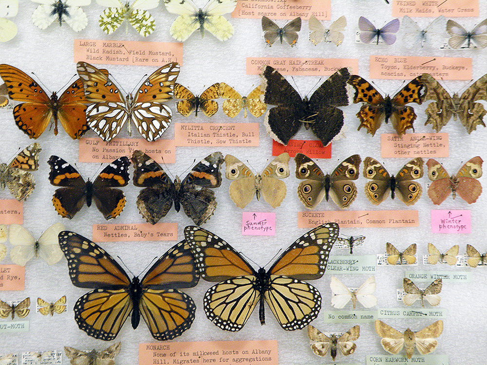 Robert Langston and Jerry Powell (longtime director of the Essig Museum) spent several seasons exploring the various habitats of the hill documenting all the Lepidoptera (moths and butterflies) they could find. For the moths this was done without setting out lights at night, but by hunting for caterpillars on their host plants and netting moths by day.
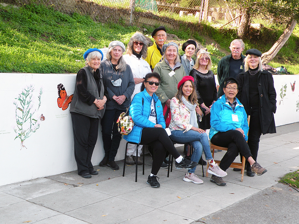
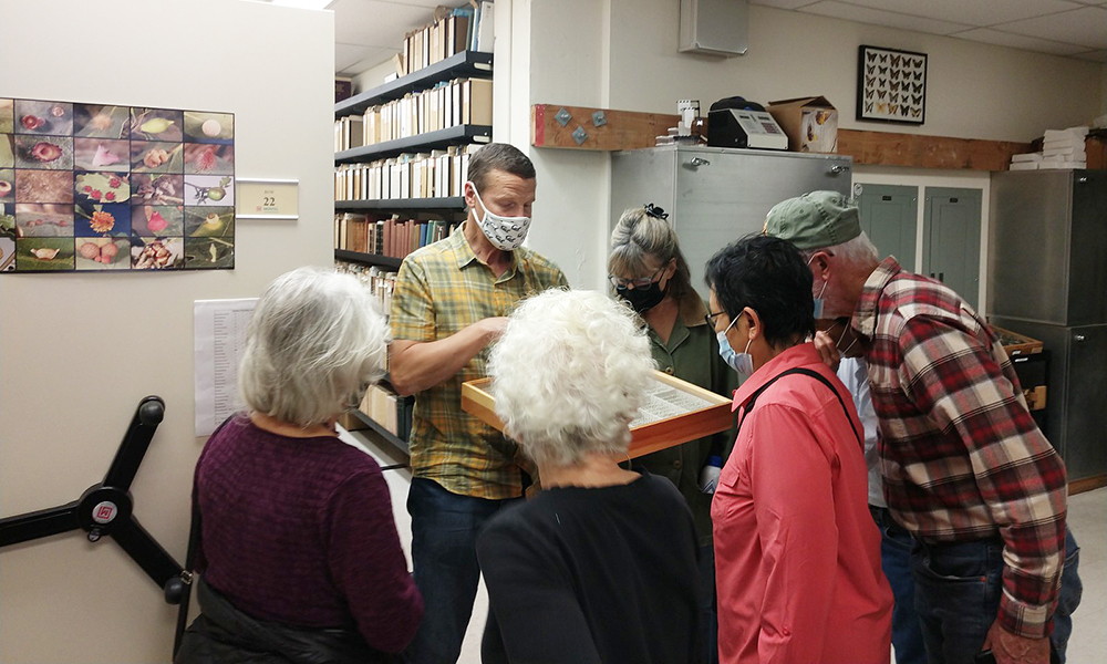
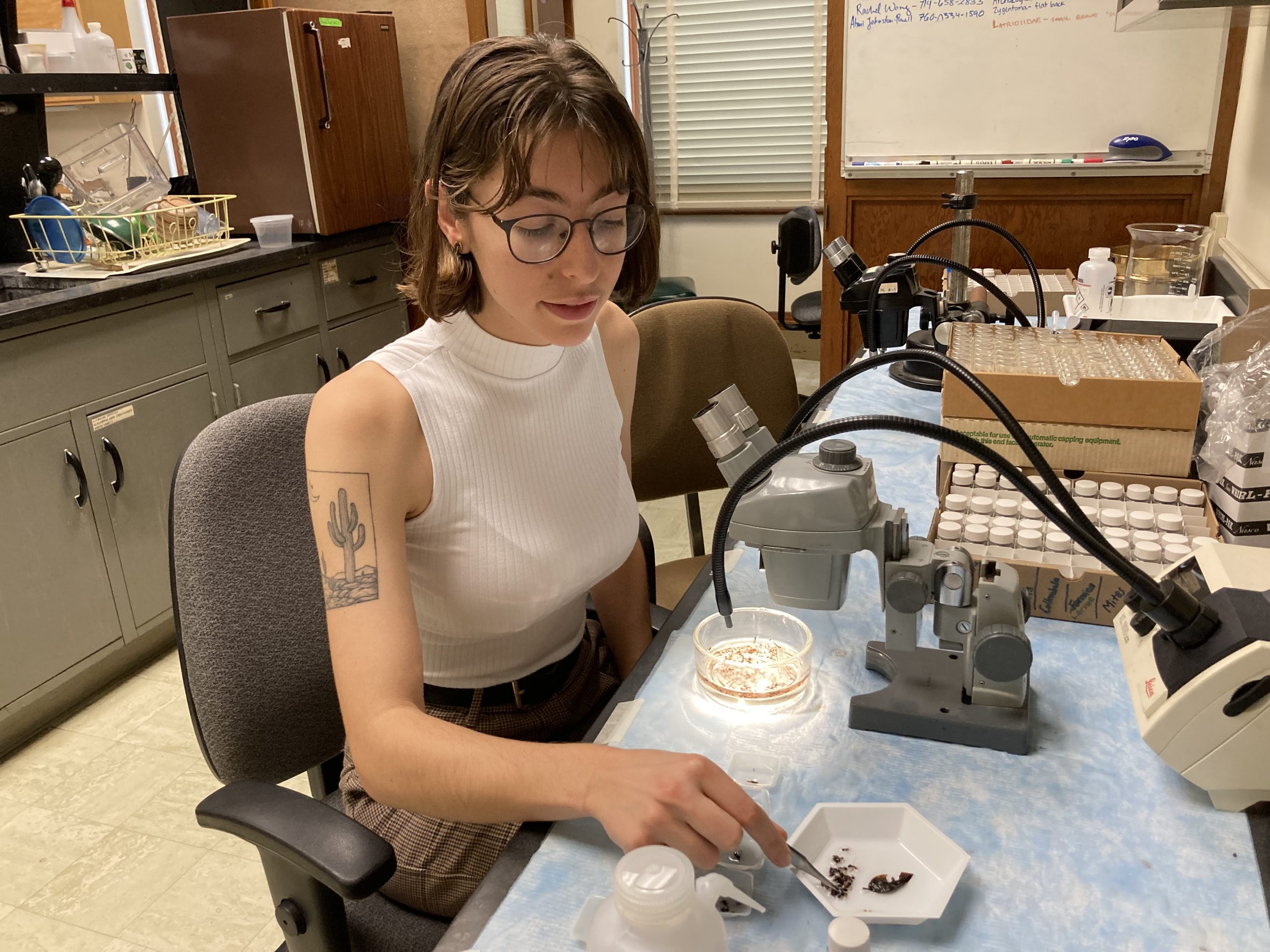
Recently the Albany Hill mural artists made a visit to the Essig Museum to learn more about butterflies and other insects found across California and how the museum continues to grow through ongoing research from faculty, staff, and students.